Transportation plays a critical role in peoples’ lives. It has the capacity to improve quality of life, but it can also impose barriers and even cause harm. Research shows that in the Boston region the benefits and burdens of transportation are not distributed equitably. The goal of this dashboard is to show how the region’s transportation system impacts equity populations—populations that have been historically disadvantaged by transportation service or harms—and whether they are disproportionately affected by its impacts. These populations include:
The dashboard is intended for transportation planners and other interested parties, particularly members of the board of the Boston Region Metropolitan Planning Organization (MPO) and Community Advisory Council, who wish to better understand where inequitable transportation outcomes exist and who is affected. The dashboard will support informed decision-making, helping board members explore how transportation impacts equity populations in the Boston region and promoting the investment of MPO funds to address their needs.
On the dashboard homepage, you can select any of the eleven metrics shown below to see how they affect each equity population. The pages for each metric discuss why the metric is important, how the MPO measures it, and how the region is performing. You can interact with charts and maps to examine whether equity populations have access to fewer destinations, are more exposed to pollutants, or live in communities that are more exposed to flooding compared to the rest of the region’s population. You can select the geography to display the data by a specific subregion, or groups of subregions, or the entire Boston region. You can also explore interactive demographic maps on the Demographics of the Boston Region page.
To visit the dashboard, click here
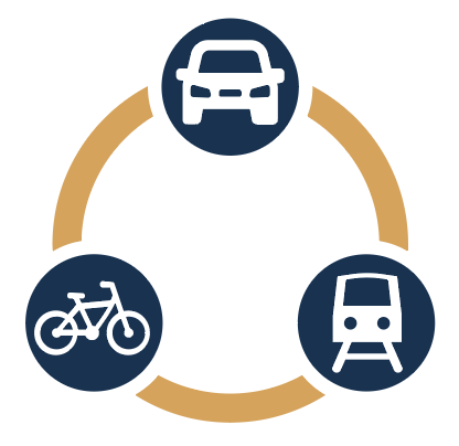
How many places can people access?
|
|
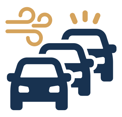
How exposed are people to pollutants?
How vulnerable are people to coastal flooding?